A new air corridor will prevent free flight in Turrubares
The General Directorate of Civil Aviation plans to approve an air corridor for aircraft in the near future that will “compromise” the flying sites in the Turrubares Valley and paragliding activities in the area

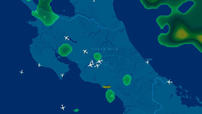
By the end of the month, the DGAC is expected to approve a new air corridor to streamline traffic to and from the western passage, while also separating VFR and IFR traffic bound for Pavas Airport. This “visual corridor” for all types of aircraft runs longitudinally through the Turrubares Valley, from the mouth of the Tárcoles River to Ciudad Colón. There are four visual reference points that aircraft will use to navigate their course: the mouth of the Tárcoles River where it meets the Pacific Ocean (CS1), the Lagunillas metal bridge over the Turrubares River floodplains (CS2), the town of Grifo Alto in the San Pedro range (CS3), and the Villa Amphitheater in Ciudad Colón (CS4).
The flying sites at Poró, Avioneta, and Pachamama will be directly affected, since in all cases the flight path crosses through them. Even though air traffic maintains the minimum clearance above populated areas—1,000 feet (AGL)—paragliding is compromised by aircraft flying too close.