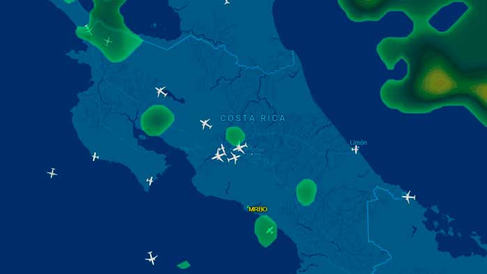
The Topographical Bible of Costa Rica
The geoportal of the National Territorial Information System (SNIT) is a technological infrastructure developed with the objective of promoting the generation, access and use of georeferenced, updated and reliable geographic (geospatial) information, standardized and positionally compatible with the fundamental bases of the Costa Rican territory with national, regional and local coverage.
It is undoubtedly the best tool for planning paragliding flights, cross-country flights, locating launch sites, access points, and much more.